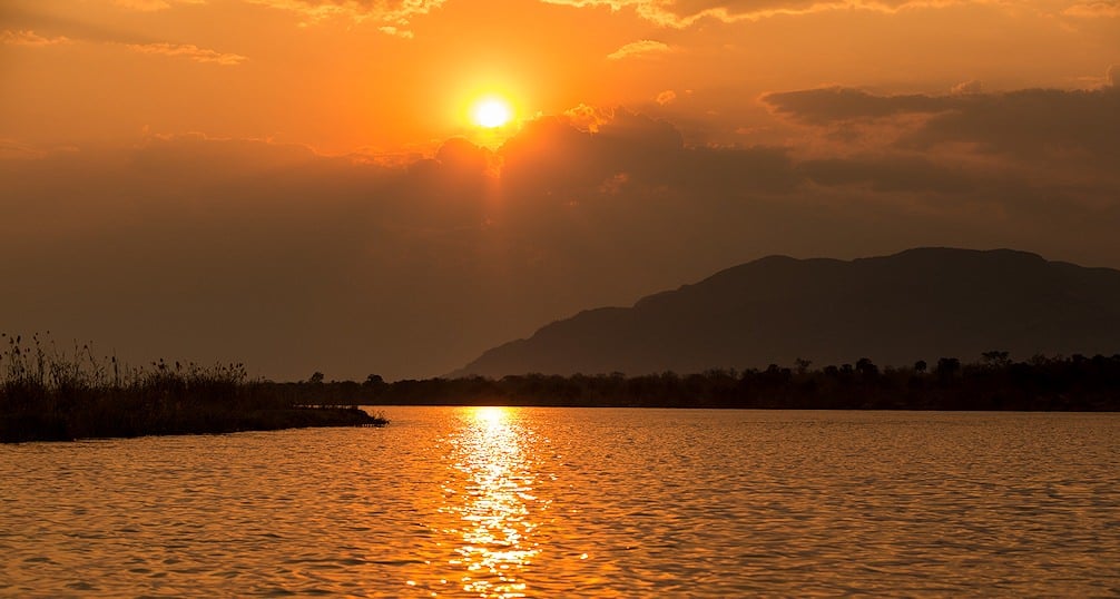
Kayaking the mighty Zambezi River

Relish a wide variety of water-based activities along one of Africa's wildest and most majestic waterways - the mighty Zambezi River.
The Zambezi River (nicknamed: ‘Besi’), with a total length of 1,600 miles, is the longest east-flowing river in Africa. This mighty river originates in the North-Western Province of Zambia and flows through Angola, Zambia, Namibia, Botswana, Zimbabwe and Mozambique before it empties out into the Indian Ocean. As it reaches the ocean, it forms a large delta. The Zambezi River is most famous for containing the world’s largest waterfall, the Victoria Falls, which has also been declared one of the Seven Wonders of the Natural World.
History
In January 1498, the Portuguese explorer Vasco da Gama became the first European to encounter the Zambezi and named it ‘Rio dos Bons Sinais’ (River of Good Omens). The legendary David Livingstone was the first European to explore the Zambezi River and set eyes on the Victoria Falls, and he named it after Queen Victoria. This expedition took place between 1852 and 1856, making Livingstone the first European to make a transcontinental journey across Africa. By this time, the waterfall was already known as ‘Mosi-Oa-Tunya’ (the smoke that thunders) by the local inhabitants.
Course of the Zambezi River
The Zambezi River is subdivided into the Upper Zambezi, Middle Zambezi and Lower Zambezi. The Upper Zambezi starts at its source in Zambia and flows through Angola before re-entering Zambia. After flowing through Zambia, it forms the eastern border of Namibia and the northern border of Botswana. Finally, the Upper Zambezi ends at the Victoria Falls, where it forms the border between Zambia and Zimbabwe. The Upper Zambezi has shaped many countries, for example: the Caprivi Strip was acquired by the German South-West Africa at the time, before Victoria Falls was known, as they thought it could provide them with waterway to the Indian Ocean.
The Middle Zambezi is home to some of the best whitewater rapids in the world. Here the river steeply drops over reefs below the Victoria Falls. Eventually it enters Lake Kariba - one of the largest man-made structures in the world.
It is also the dominant source of electricity for Zambia and Zimbabwe, with all the hydroelectric power-generating facilities it contains. Below Lake Kariba, the Middle Zambezi is joined by the Luangwa River and Kafue River and enters Mozambique at the confluence of the Luangwa River. The Middle Zambezi then ends as it enters Lake Cahora Bassa.
The stretch of the Zambezi River between the Cahora Bassa and the Indian Ocean forms the Lower Zambezi. This section of the river is navigable even when it gets very shallow during the dry season. As the river enters the Indian Ocean, it forms the Delta of the Zambezi. The delta is only half as wide as it was before construction of the Kariba and Cahora Bassa dams, but is still home to a wide variety of wildlife including large herbivores and predatory mammals.
Religions of the Zambezi River
The Tonga tribe of the Zambezi Valley believes in the Nyami Nyami or ‘River God’. It is said that the Nyami Nyami used to reside under a great rock that is now submerged under the Kariba Dam. Local prophets claimed that this angered the Nyami Nyami, and that he will have his vengeance. Westerners mocked the prophets, but calamity struck the construction sites time after time. On the 15th of February 1950, for the first time in recorded history, a hurricane came hundreds of miles up the river valley, devastating construction efforts. On Christmas Eve of 1955, a large flood washed away the newly constructed coffer dam and pontoon bridge. In November 1956, a once-in-a-thousand-year flood set back construction by months. Against all odds, a once-in-ten-thousand-year flood hit in January 1958, producing sixteen million liters of water a second and wreaking havoc in its path. This flood raised the water to such a height that it even destroyed a suspension bridge and washed it down stream.
Paddling in the Upper Zambezi
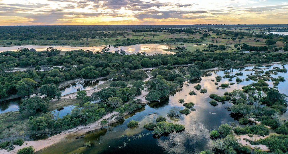
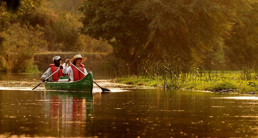
The Zambezi River flows relatively smoothly at the last section of the Upper Zambezi before it reaches Victoria Falls. The local inhabitants utilize this section of the river as their dominant source of food. They navigate the river by means of the locally made canoes known as ‘mokoros’. A mokoro is an expertly hollowed out tree trunk used in various places in Southern Africa, particularly on the Zambezi River and in the Okavango Delta. At some lodges there is the opportunity to experience the river the traditional way. A guide will take a maximum of two guests out onto the river in a mokoro to experience the tranquility of the river and the surroundings as the locals have for thousands of years. Other lodges, such as Royal Chundu, provide a more modern way to paddle along the river in inflatable canoes. For those that might find this activity a bit taxing, there is the option to add a small motor to the canoes or to take a cruise in a powerboat.
A spectacle that should not be missed along this part of the river is the annual Parrot fish run. Millions of Parrot fish enter the lower sections of the Upper Zambezi due to heavy rains. Between June and August every year, the locals catch the fish by means of handwoven fishing baskets. The fish caught by the locals can sustain them for an entire year if the fish are dried and rationed correctly. Royal Chundu guests have the opportunity to view this show firsthand and can even attempt to catch Parrot fish in the local fishing style.
Taking on the white water of the Middle Zambezi
Guided trips
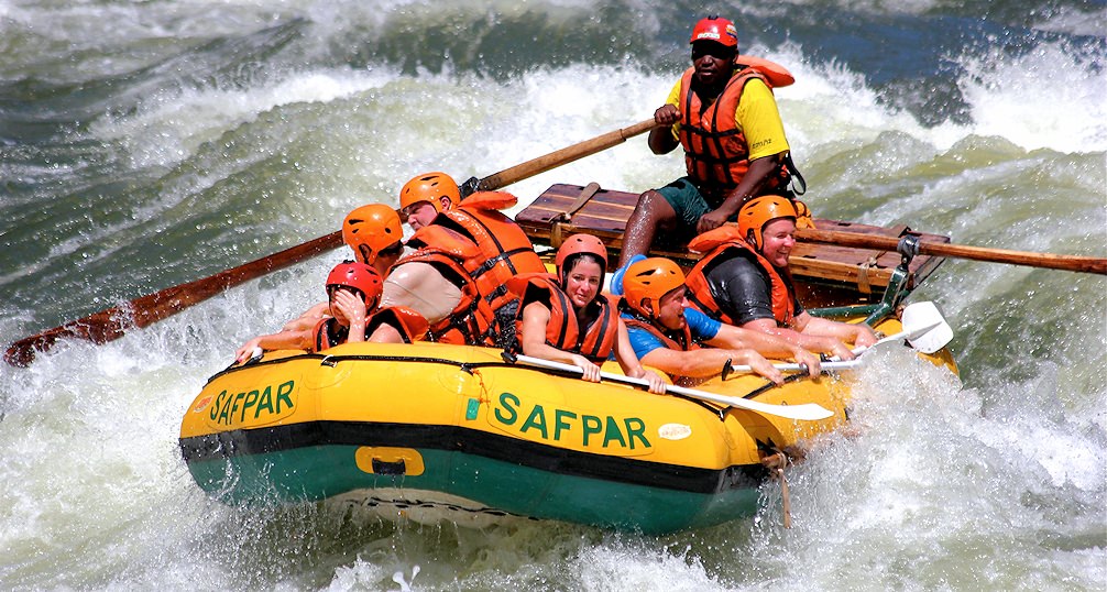
The rapids immediately below the Victoria Falls are acclaimed as the “wildest one-day white water run in the world”. There are various ways to take on the rapids, but the option that most people opt for is doing so accompanied by an experienced white water guide. These trips are done in seven-seater ‘rubber ducks’. The trips can be as short as half a day or as long as five days and four nights. Very little experience is needed, as the guides instruct guests on how to navigate the rapids. Trips also depend on the water level and during different times of the year there are either ‘high-water’ or ‘low-water’ trips. High-water day trips will end after rapid #23 and low-water day trips will end after rapid #18.
Kayaking
In terms of kayaking, the Middle Zambezi is world-class. Depending on the kayaker, it is either the world’s best rapids, or sometimes second or third best in the world, but always on the podium. Nevertheless, the Middle Zambezi has rapids for a large variety of skill levels. Beginners can improve their kayaking skill, while the best kayakers can test their skills. The two rapids directly below Victoria Falls, known simply as ‘Minus One’ and ‘Minus Two’, are rapids that should only be taken on by highly skilled kayakers. The next seventeen miles down the river include twenty-five rapids of varied difficulty. What makes this section of the river world-renowned is not only the quality of the rapids or the power of the river, but also the gigantic cliffs on either side. The easiest rapids are right at the end of the seventeen-mile stretch, and they are known as Rapid #19 to #25. Rapid #9, also known as ‘Commercial Suicide’, contains the highest difficulty rating. Other rapids that should not be taken lightly are Rapid #5, also known as ‘Stairway to Heaven’, Rapid #7, also known as ‘Gulliver’s Travels’, Rapid #17, known as ‘Double Trouble’, and Rapid #18, better known as ‘Oblivion’. At Rapid #12, referred to as ‘Three Sisters’, there is a famous surf wave. Going downstream after the first seventeen miles, there are rapids all the way down until seventy-eight miles from the start.
In short, this stretch of the Middle Zambezi is every kayaker's dream destination. There are various “put-in” and “take-out” spots, allowing for short or long stretches of kayaking depending on skill level and fitness.
Lower Zambezi
The Lower Zambezi flows smoothly and allows for excellent wildlife sightings. Zambezi Safari & Travel Company has been doing canoe safaris on the Lower Zambezi since 1995 and knows this isolated stretch of the river intimately. There are a wide variety of different packages ranging from a short three-day trip to comprehensive ten-day trips.
A three-day canoe trip from Kariba to Chirundu is known as the ‘tame stretch’. Except for hippopotamus and crocodiles, there is not too much wildlife to be found in this area, but the spectacular cliffs of the Kariba Gorge make up for this. Canoeing through the Kariba Gorge is an eerie affair, as the gigantic cliff faces rise on either side. There are a few black eagles nesting on the cliffs and some fishing villages along the way. Eventually the floodplains widen as the gorge ends and there is a marked increase in wildlife.
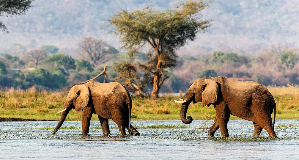
The most popular canoeing trip on the Lower Zambezi includes a four-day trip from Chirundu to Mana Pools. The highest wildlife concentration of the entire Zambezi River occurs here. Large elephant herds are commonly seen. Buffalo and various antelope species are abundant and there is no limit to the animals that might be spotted on the riverbanks. Lions and leopards are a bit harder to find, but are seen more often than not.
This used to be a Big Five area, but unfortunately rhinos have been hunted to extinction by poachers. Elegant cheetahs can also be seen during the day. Very rare wild dogs are not seen often on land, but when canoeing there is a good chance of a spotting them when they come to drink from the riverbanks. If hyenas are not seen, they will certainly be heard hooting in the night. A mind-boggling amount of birds make the fertile riverbanks their home, especially in summer when the migrating bird species visit the area. Almost 400 bird species have been documented here.
For those with a real taste for adventure, the ‘wild stretch’ from Mana Pools to Kanyemba is ideal. The wildlife thins out, but the dramatic scenery makes up for it. However, rare species, such as the Taita falcon, are relatively common. This six-day trip ends with a dusty 7-hour drive back to Kariba. The mildest time to visit is from May to June, but the best wildlife sightings are in the hellishly hot months of October and November. High season is from July to September. Access to the river is difficult during the wet season from November to March, when the only option is to go directly from Chirundu to Mana.
