South African Provinces
Help Me Plan- Home
- >
- African Travel
- >
- South Africa
- >
- Provinces
South Africa’s Provinces at a Glance
Each of South Africa’s nine provinces offers a distinct mix of cities, landscapes and experiences. From big-ticket nature like Kruger and the Drakensberg to the Cape’s beaches and wine country, this page orients you to capitals, major hubs and practical context so you can choose the best base for your trip.

Some are known for their vibrant cosmopolitan cities where travelers can enjoy great shopping and various cultural and historical attractions. Yet others offer some of Africa's finest wilderness experiences, vast open spaces, and different adventure and leisure activities in stunning natural surroundings.
- Johannesburg - Gauteng
- Bloemfontein - Free State
- Cape Town - Western Cape
- Durban - KwaZulu-Natal
- O.R. Tambo - Gauteng
- Cape Town - Western Cape
- King Shaka - KwaZulu-Natal
- Chief Dawid Stuurman (Gqeberha) - Eastern Cape
The Nine Provinces
South Africa's nine provinces are as diverse and unique as the country itself, ranging from towering peaks to unbroken stretches of semi-arid desert. African Sky offers privately guided tours, safaris, and honeymoon packages to all the provinces in the country.
Eastern Cape

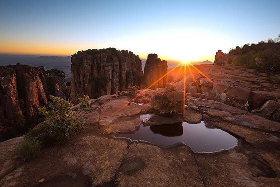
The Eastern Cape Province is South Africa's second-largest province. The areas of the province differ greatly. Relief, climate, and vegetation give each region a character. In the north are the plains of the Great Karoo, in the northeast the Drakensberg Mountains, and the coast is home to the beautiful Wild Coast. The eastern interior is covered with grasslands, while typical Karoo vegetation occurs in the dry northern parts and savanna on the central western plateau.
Addo Elephant National Park and the various beaches in the area are fast becoming some of South Africa's favorite travel destinations. It does not matter whether you are after a holiday at sea or in the bush – due to its diversity, you will almost certainly find what you are looking for in the Eastern Cape. While East London and Gqeberha (formerly Port Elizabeth) are perfect getaways for families, the idea of vacationing in the Karoo is becoming more popular.
Graaff-Reinet is known as "the gem of the Karoo." The town is laid out around the 1886 Dutch Reformed Church, a real landmark as you enter the town. And who can resist the charming beauty of Hogsback with its distinct English country character? Here, you will find St Patrick's on the Hill, one of South Africa's smallest places of worship. The peaceful coastal resort towns of Kenton-on-Sea and Port Alfred will provide you with unforgettable beach holidays and are water sports enthusiast's paradise.
Gauteng

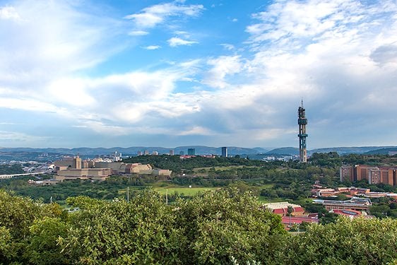
The Gauteng province may be South Africa's smallest province, but a large percentage of the South African population lives in Gauteng. Johannesburg is the capital of Gauteng and is part of the larger Witwatersrand urban area. Pretoria, the other metropolis, is the administrative capital of South Africa. Benoni, Boksburg, Germiston, Krugersdorp, Soweto, Springs, and Vanderbijlpark are the other main urban areas in Gauteng.
Gauteng sits in the subtropics, but Johannesburg’s elevation (about 1,753 m) moderates temperatures. The city typically receives around 700–800 mm of rain per year, mostly from late-afternoon summer thunderstorms. Although gold mining no longer dominates, mines, manufacturing and services remain central to the provincial economy.
Winters bring sunny days with cool to cold nights, while summers are warm with frequent thunder showers.
KwaZulu-Natal
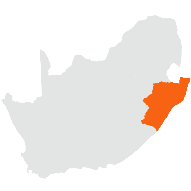
The KwaZulu-Natal province is often called the "Garden of South Africa." Tropical and subtropical regions fall within the boundaries of this beautiful province, which has been a favorite amongst travelers of South Africa. A visit to KwaZulu-Natal should include the Drakensberg, part of a mountain system that stretches for more than a thousand kilometers.
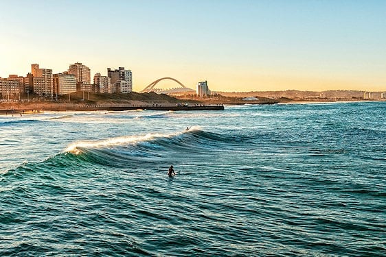
The iSimangaliso Wetland Park and Lake St Lucia, Hluhluwe-iMfolozi Park, Mkuze (uMkhuze) Reserve, and Ithala are among the large conservation areas you can visit while you travel through KwaZulu-Natal. The subtropical and tropical vegetation is often dense because of humid conditions. Beautiful beaches line the Indian Ocean coast. Pietermaritzburg is the provincial capital; Durban is the largest city.
Forestry, sugar, tropical and subtropical fruit, dairy products, and cattle are main agricultural industries. Tourism and marine services are important tertiary activities. IsiZulu, English, and Afrikaans are widely spoken. Many diverse flavors contribute to KwaZulu-Natal's culture, influenced by British colonialism, Indian migration, and the interaction between the Zulu and Afrikaner communities.
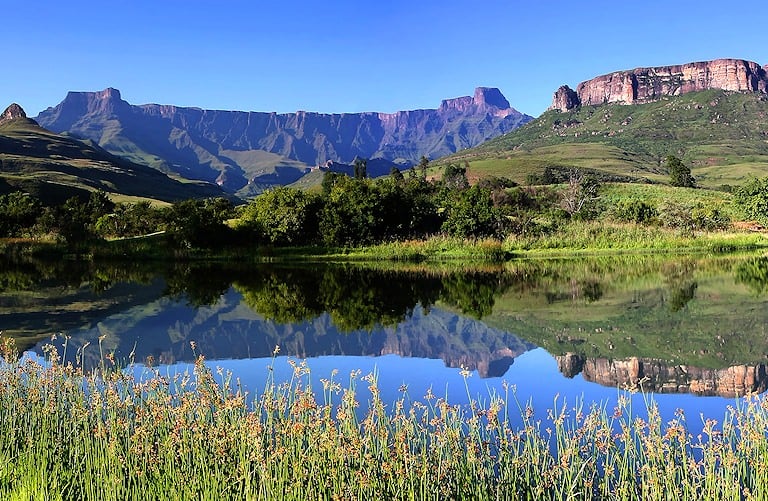
The Drakensberg Mountains | KwaZulu-Natal
The uKhahlamba-Drakensberg Park, a UNESCO World Heritage Site famed for dramatic scenery and San rock art, protects some of the range’s highest peaks. Some summits exceed 3,000 m and can be snow-covered in winter.
Limpopo
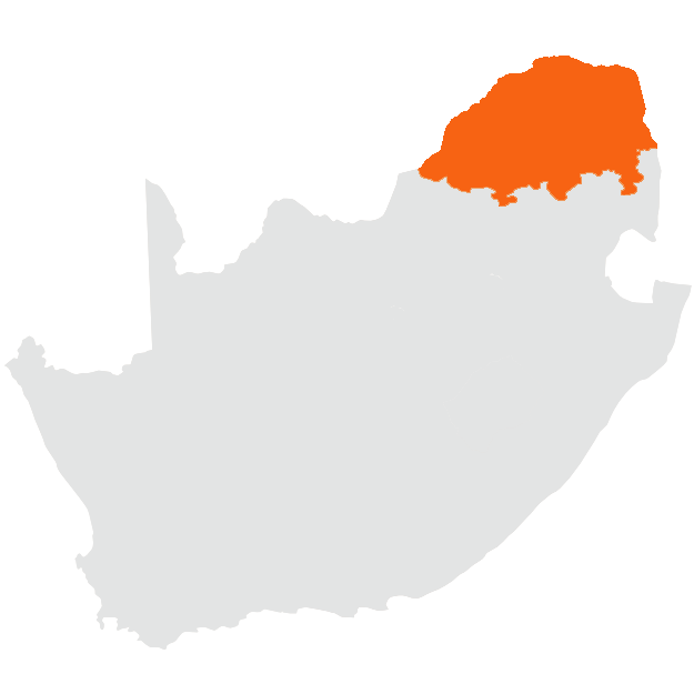
The Limpopo province garners its name from the Limpopo River, which forms South Africa's northern border. Limpopo is known for its contrasts – there are mountains, lush forests, plantations, wilderness areas, and farms. A large portion of the Kruger National Park is in Limpopo.
With game farms and private game reserves, visitors will find a lot of wild animals in Limpopo, making it a popular travel destination. Limpopo is the gateway to Africa, as it borders the countries of Botswana, Zimbabwe, and Mozambique. Polokwane, once known as Pietersburg, is the capital city. Other significant urban centers include Bela-Bela (Warmbaths), Makhado (Louis Trichardt), Mokopane (Potgietersrus), Musina (Messina), Phalaborwa, and Thabazimbi. The population of 5.5 million mainly speaks Sepedi, Xitsonga, and Tshivenda. The Limpopo Province falls in the summer rainfall region of South Africa.
Thunderstorms often occur in the late afternoons from November to March. Winters are temperate with cool nights, while summer temperatures in the low-lying areas are high to very high.
Mpumalanga

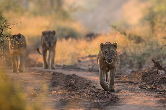
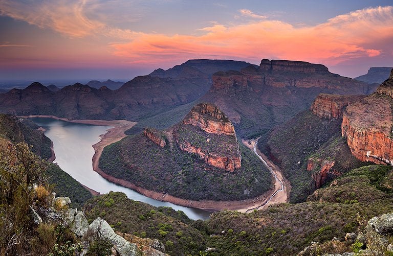
Mpumalanga means 'area of the rising sun'. Part of the Kruger National Park and many private game reserves are situated in the Mpumalanga province. The Transvaal Drakensberg runs from north to south through Mpumalanga and forms part of the great escarpment. The terrain varies: Highveld grasslands to the west of the escarpment and Lowveld subtropical savanna to the east.
Tourism is an important contributor to the provincial economy. Coal mining, petroleum manufacturing, steel, and forestry also play a role. The population of about 3.3 million speaks siSwati, isiZulu, isiNdebele, and English. The capital city is Mbombela (formerly Nelspruit). Other urban centers include Middelburg, eMalahleni (Witbank), Bethal, Barberton, Ermelo, Piet Retief, Secunda, and Standerton. Summers can be hot in the Lowveld; winter temperatures are moderate to high.
On the Highveld, winter nights can be cold with frost. Rainfall typically occurs as summer thunderstorms.
Northern Cape

The Northern Cape Province lies east of the Atlantic Ocean. Its capital, Kimberley, is located more than 900km from the shoreline. Its surface area makes the Northern Cape Province one of South Africa's largest provinces, but it carries the smallest population.
The Orange River is the only prominent geomorphologic phenomenon – the landscape otherwise is very flat, and the vegetation is sparse because of low rainfall. Much of the province falls within the Nama-Karoo biome – low shrubland and grass. The Augrabies Falls National Park was established to preserve the impressive waterfall and ravine. Large salt pans mark the west-central plains.
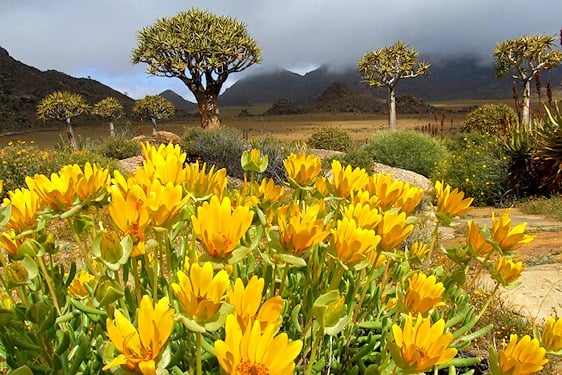
The Orange River supplies much-needed water, and irrigation schemes alongside it produce cotton, maize, peanuts, lucerne, dates, and grapes. The dry coastal plain, known as Namaqualand, turns into a wonderland of wildflowers each spring — a compelling reason to visit the Northern Cape Province.
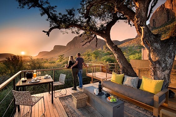
Safaris, Wildlife & Scenery | Mpumalanga
If great safari destinations are what you are seeking, Mpumalanga is South Africa's go-to province. The diversity of wildlife and the natural scenery make the province a traveler's delight.
North West
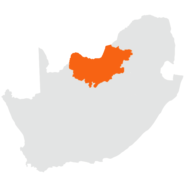
The North West province lies on the border of Botswana in the north and Witwatersrand in Gauteng in the east. Traveling through the North West, grasslands and savanna vegetation are ideal for cattle farming. Crop farmers produce maize, peanuts, sunflowers, and wheat. Tobacco, cotton, subtropical fruit, oranges, peaches, vegetables, and flowers are also produced in North West.
The platinum mines of the Rustenburg region are among the largest producers of platinum in the world. Gold, diamonds, marble, and fluorspar are also mined. The province is in the summer rainfall region. Rain decreases from east to west and often arrives as late-afternoon thundershowers.
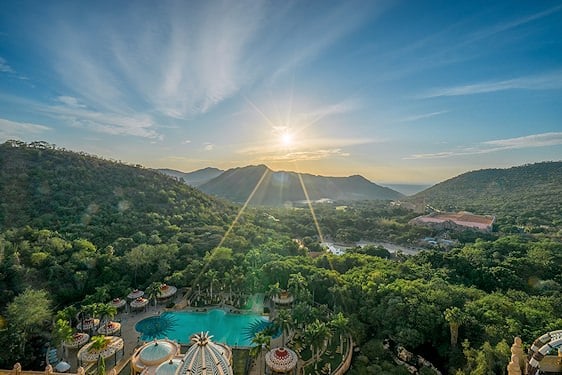
Summers are warm to very hot, winter days are sunny and temperate, and winter nights are cool to cold. Visit the Sun City resort — one of the country's most popular leisure destinations.
The Free State

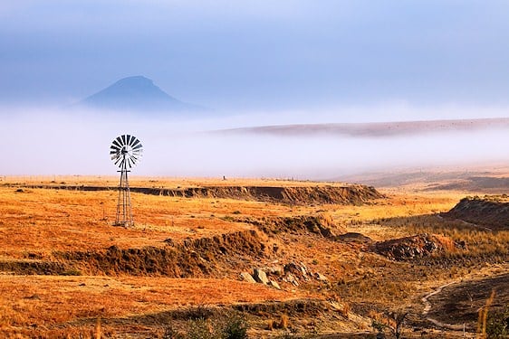
The Free State province lies between the Vaal River north and the Orange River south. This province lies central on the interior plateau of South Africa and is characterized by its grass plains and dolerite hills. On the south-eastern border are the mountains of Lesotho.
The eastern highlands are well-known for their beautiful sandstone formations in yellow, brown, orange, and pink hues. Some of South Africa's most valued San rock paintings are found in the Free State. Bloemfontein is the capital of the province and the seat of the Supreme Court of Appeal.
The Free State is in the summer rainfall region. Summers are temperate to warm, and winters are dry and sunny, though nights can be cold.
Western Cape
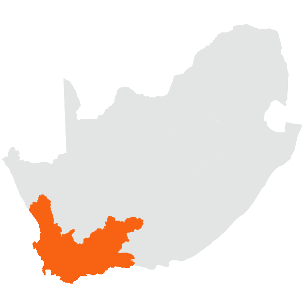
When traveling in the Western Cape, you will find valleys where agriculture flourishes. Rivers such as the Berg, Breede, and Olifants sustain wheat, fruit, and wine production.
Explore the fynbos floral kingdom — one of the world’s six floral kingdoms and extraordinarily diverse. The population mainly speaks Afrikaans, English, and isiXhosa. Cape Town is the largest and capital city of the province. Other significant urban centers include Stellenbosch, George, Knysna, Oudtshoorn, Hermanus, Paarl, Wellington, Mossel Bay, Worcester, and Beaufort West.
The west and southwest enjoy a Mediterranean climate with dry, often windy summers and cool, wet winters. Along the Garden Route to the east, rainfall occurs year-round with the highest totals in winter.
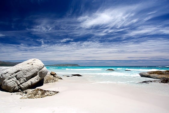
Tsitsikamma - beaches & Coastal Forests | Western Cape
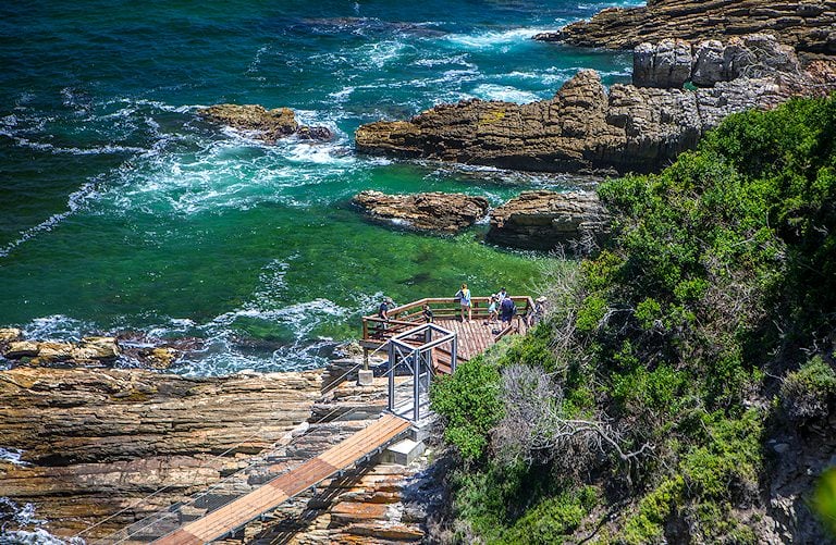
The Knysna–Tsitsikamma region protects the country’s largest indigenous forests, with hiking, coastal viewpoints and rich birdlife along a dramatic shoreline.
